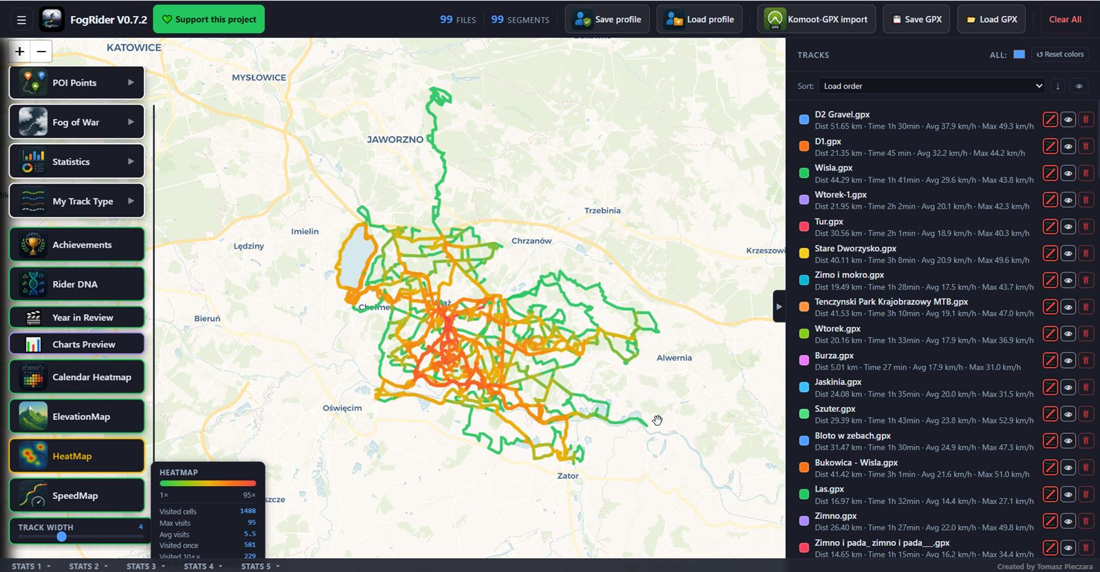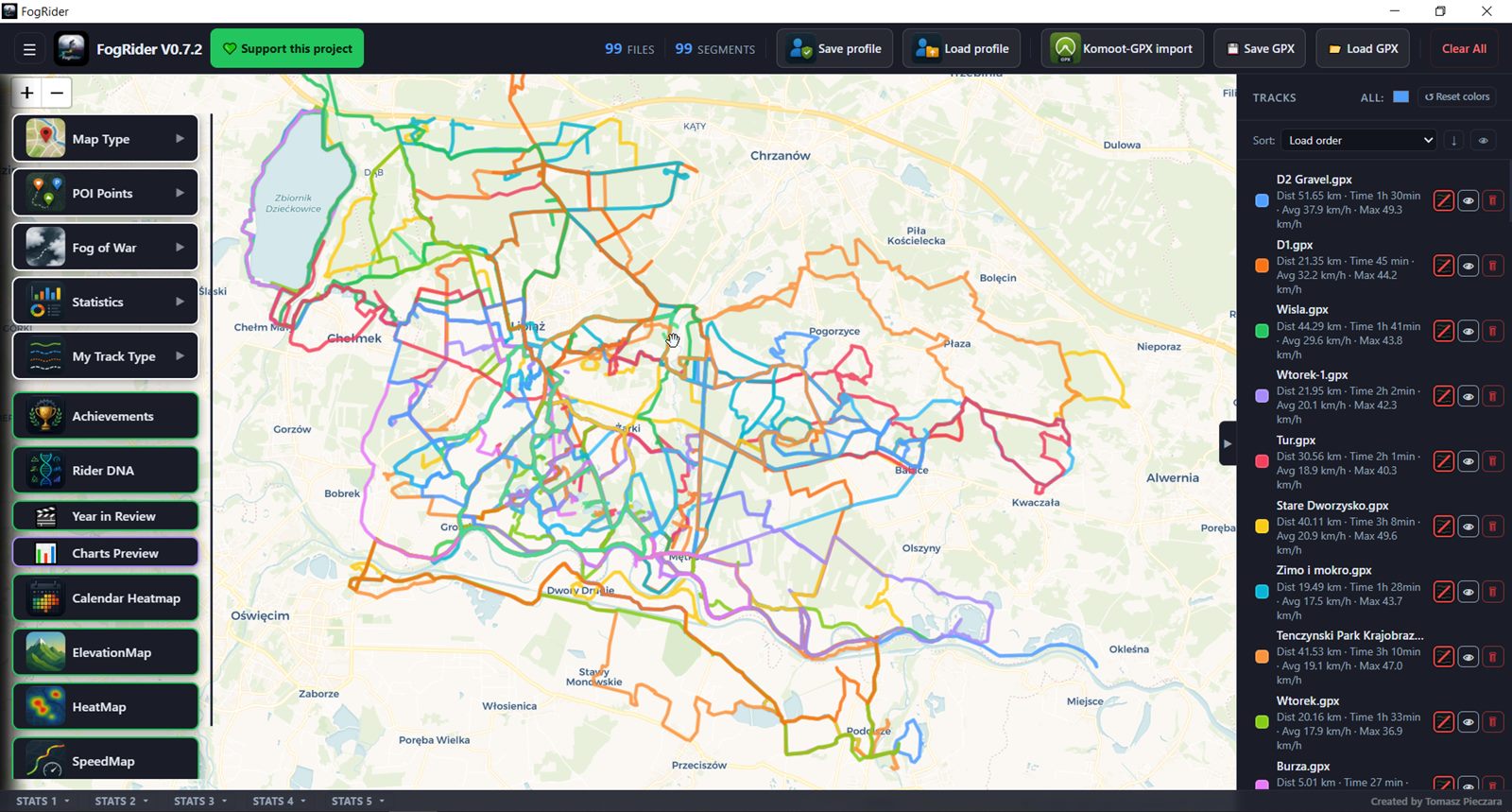
Load your GPX tracks and watch the fog lift off every road you've ridden. Analyze speed, surface type, and elevation, or pull your history straight from Komoot and Strava - no account, no upload, everything stays on your PC.
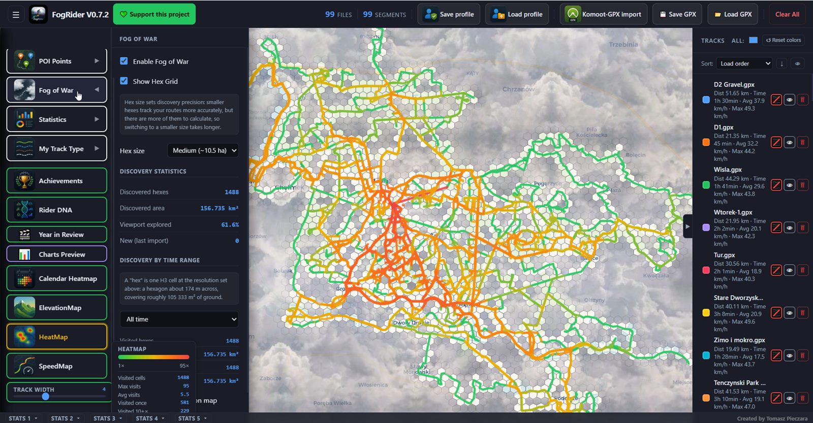
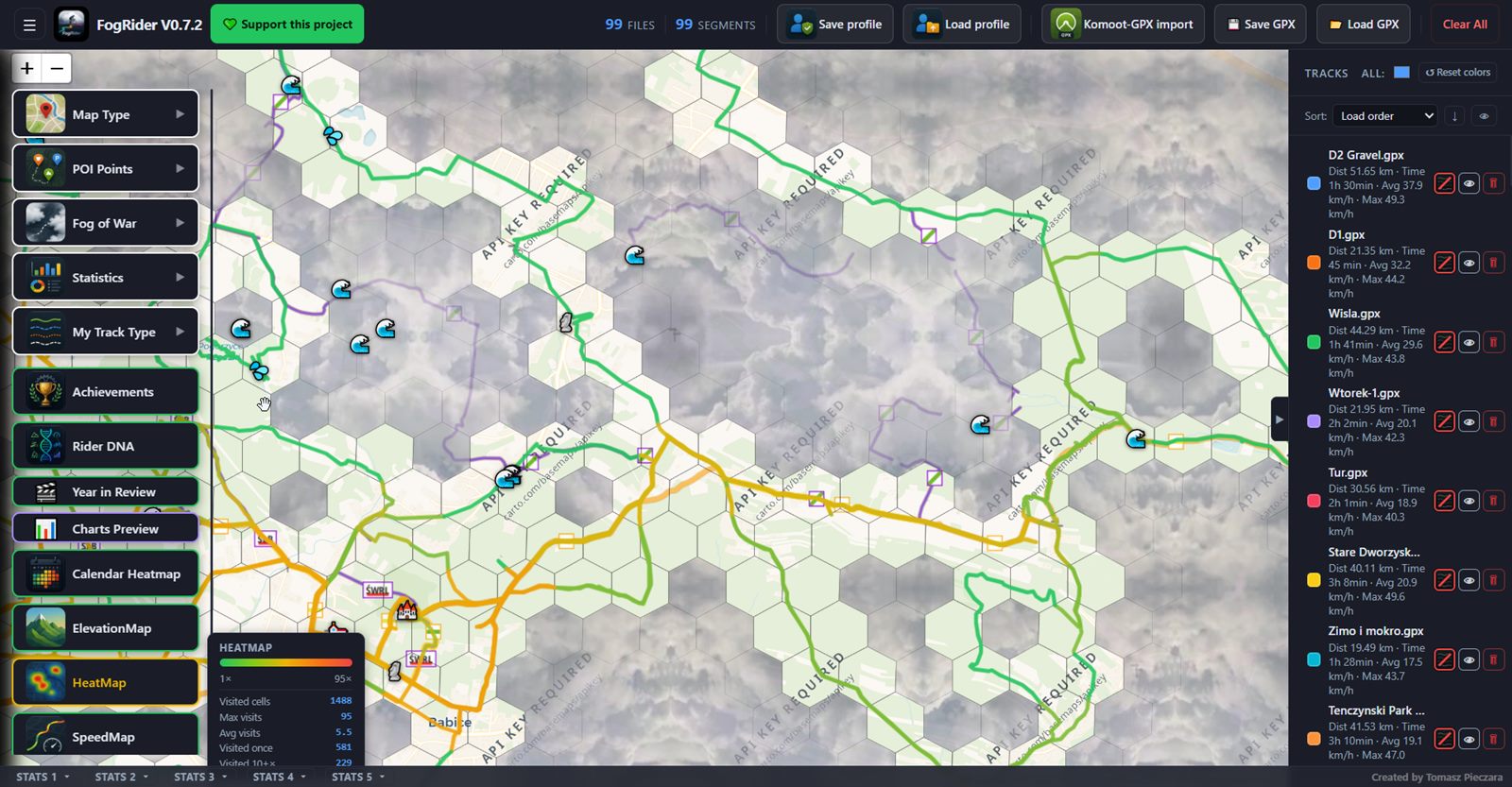
The map starts covered in fog and clears along every road you've actually ridden - a hexagonal grid (H3) tracks discovered terrain.
Drag and drop single files or whole ZIP archives; export everything back to a ZIP in one click.
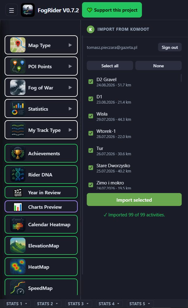
Log in and pull activities straight from Komoot, or use the one-click Strava bookmarklet - no manual file juggling.
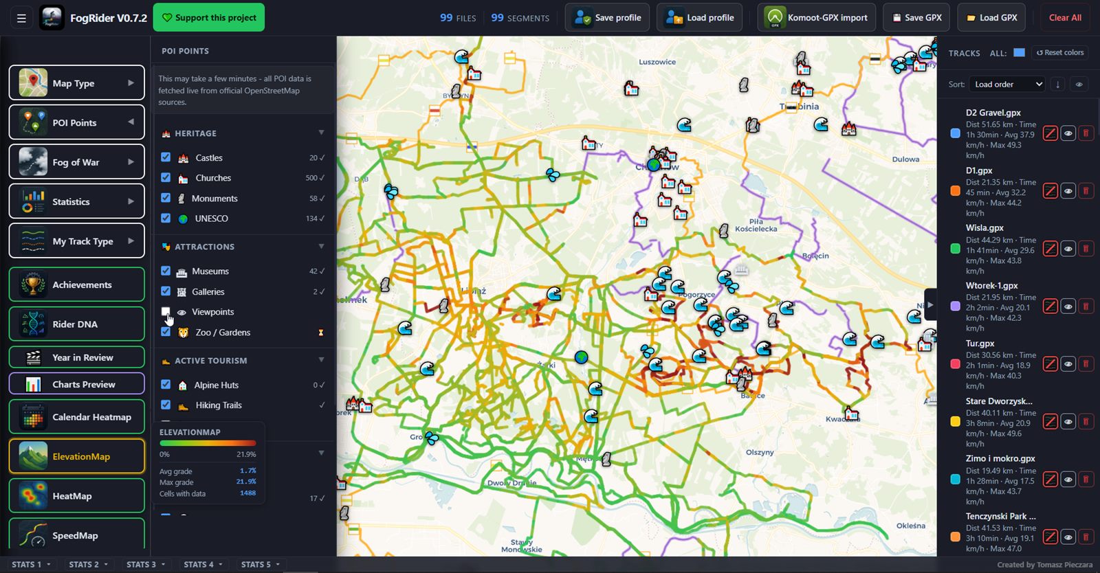
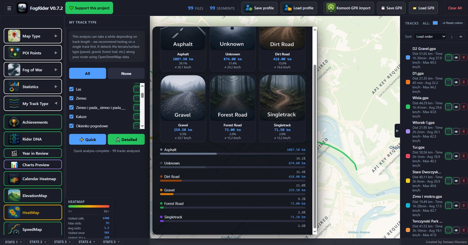
Classifies every segment as asphalt, gravel, forest trail and more, using OpenStreetMap data.
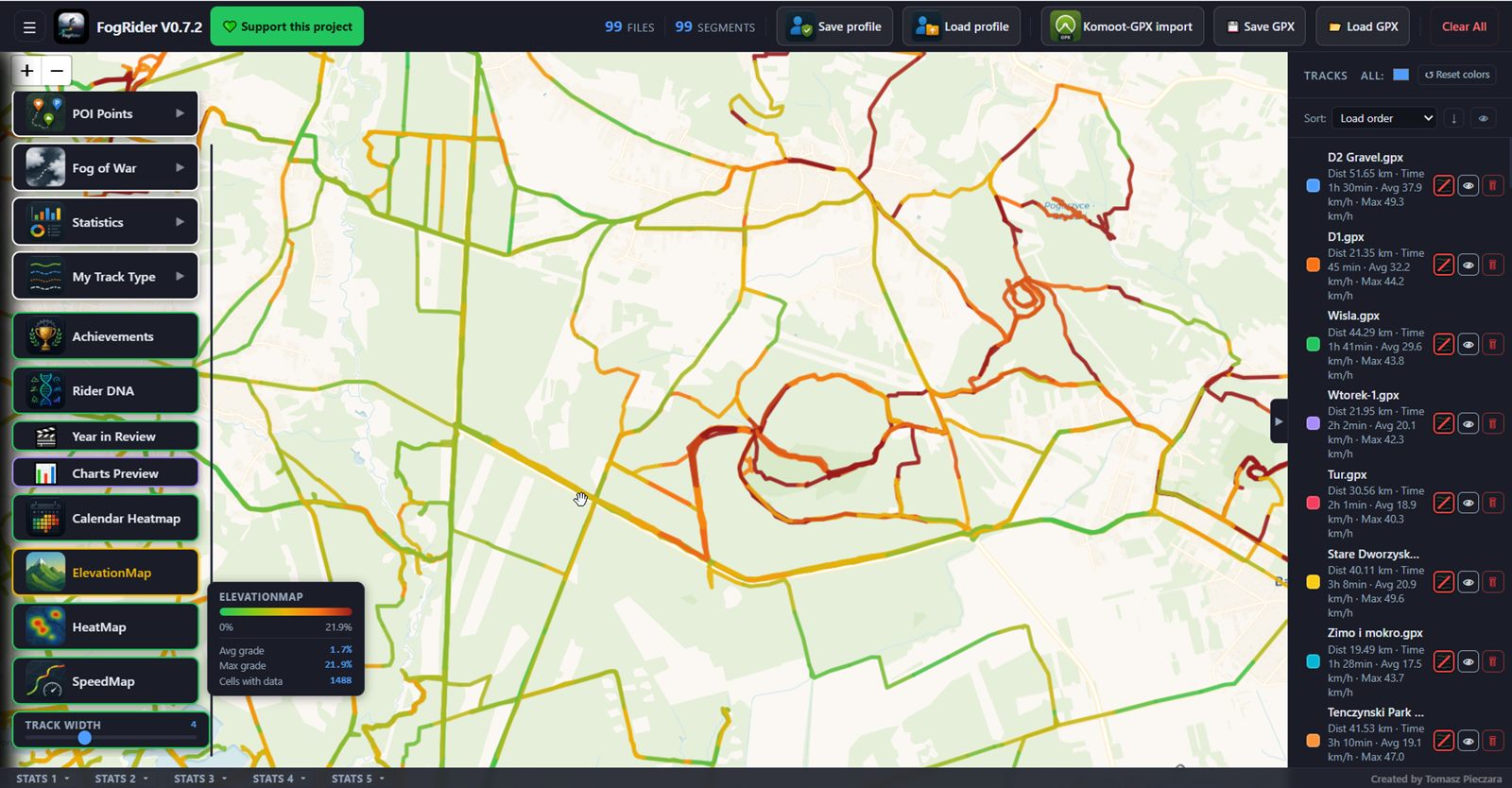
Colors your tracks on the map by pace or by climb steepness, so hot spots jump out at a glance.
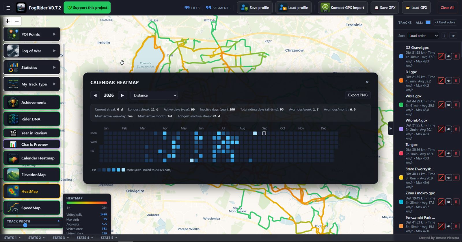
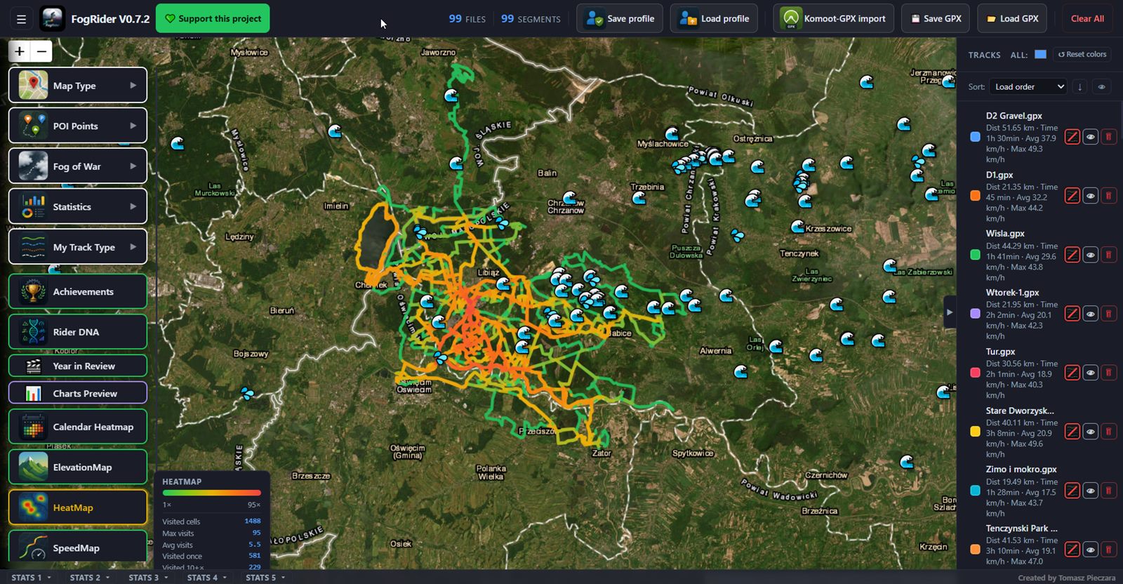
See at a glance which roads and trails you actually ride the most.
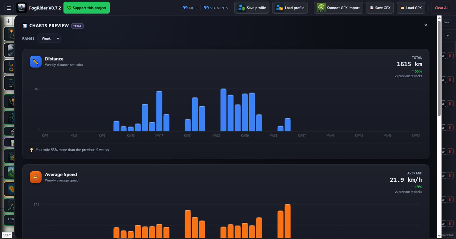
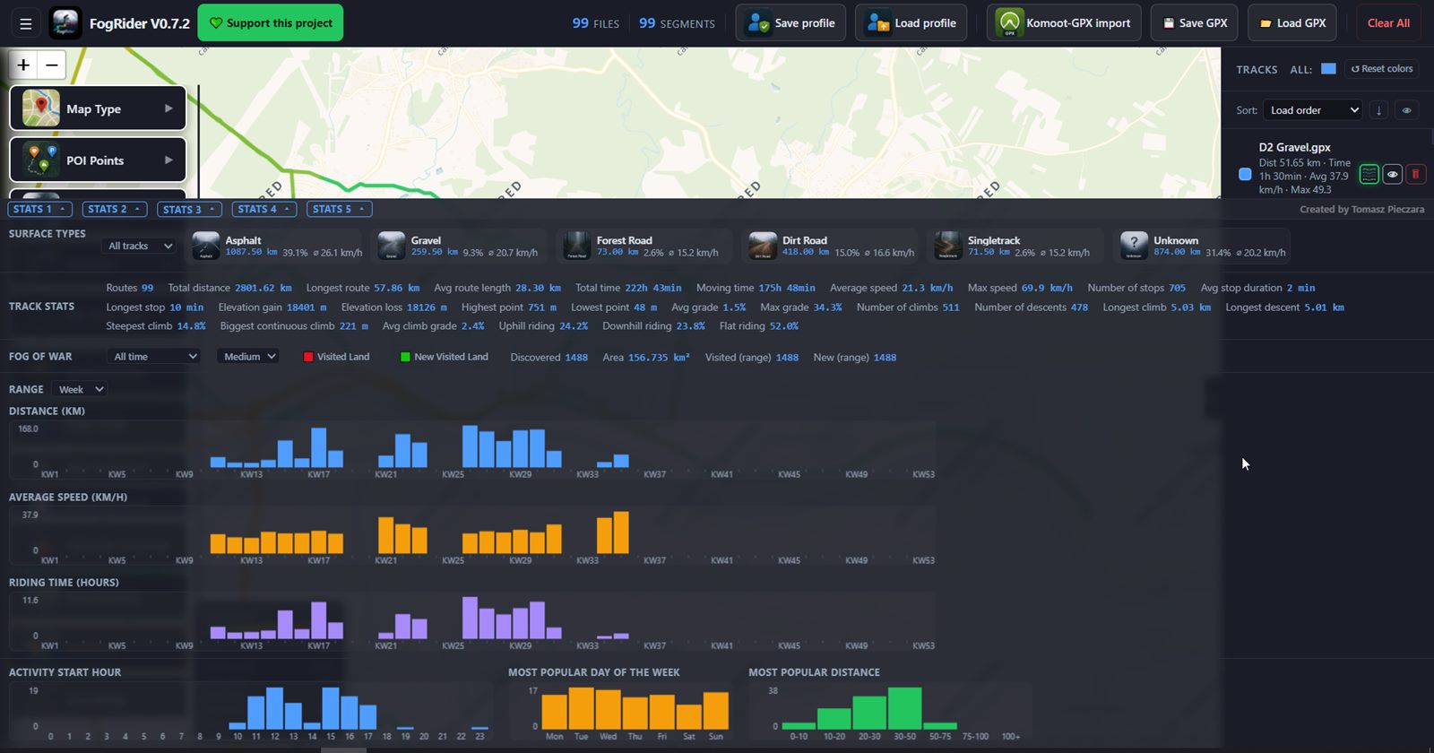
Distance, speed, elevation gain, climbs and descents, plus activity charts by week, month and year.
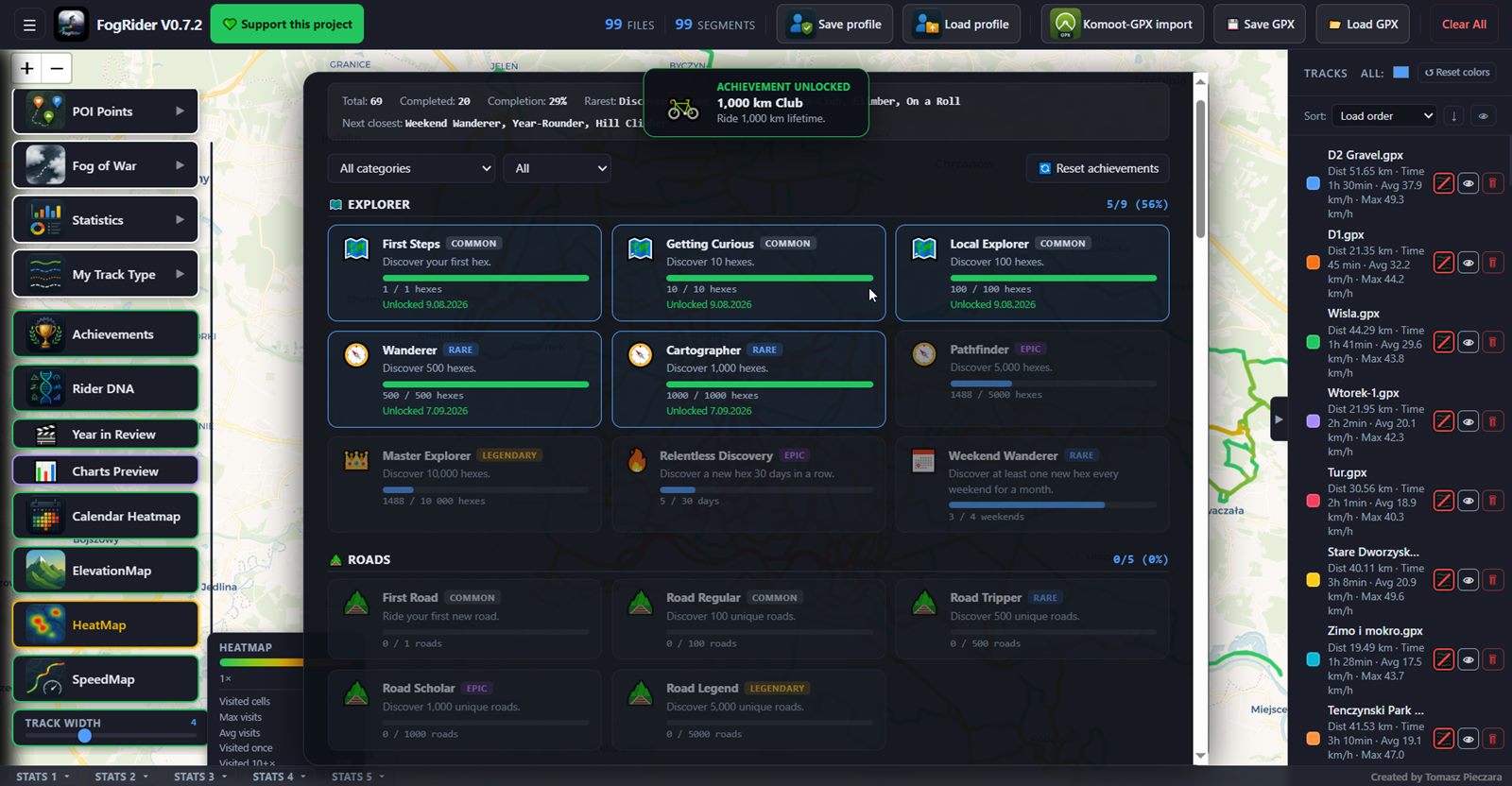
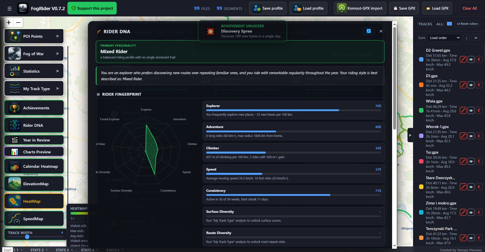
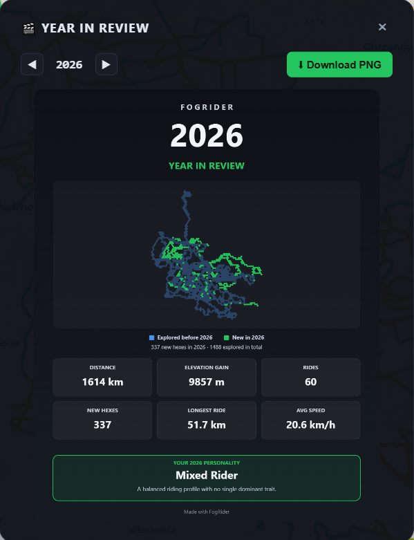
Unlockable badges, a cycling personality profile built from your rides, and a shareable yearly recap.
Komoot - log in with your Komoot account directly inside FogRider and pick which recorded activities to pull in, no manual export needed.
Strava - a one-click bookmarklet runs on Strava's own site using your logged-in session, packs your activities into a ZIP, and hands it straight to FogRider.
FogRider has no backend server of its own. Your tracks and saved profiles live only on your PC - the app only reaches out to a service when a specific feature needs it, and tells you which one.
Free GPS track viewer and analyzer for Windows. Load your rides and watch the fog lift.
Download for Windows →